Real estate
Sell the view
before it exists.
Launch films, connectivity films, the architect’s render placed in the real sky, and the actual 360° view from every floor — captured at true height, delivered as one link that a buyer opens on a phone and a director approves in a message.
Towers & townships
For developers of buildings.
-
advertising
Launch Film
The reveal. Aerial approach, the tower in its skyline, amenities, the locality — cut for the launch event, the hoarding QR, and three vertical versions for Reels.
- 60–90 s master, colour graded
- 3 vertical cuts for social
- 20 graded stills for brochures and listings
- Raw aerials archived for later edits
-
connectivity film
Connect
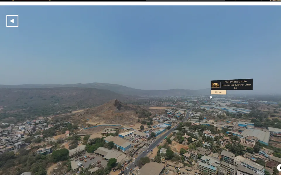
From the gate to the station, the highway, the school, the hospital — flown, timed and captioned with real distances. A buyer sees the commute instead of reading about it.
- Point-to-point aerial routes
- Distance and drive-time captions
- Map overlay with landmarks
- Cut-downs per landmark for ads
-
superimposed building
Overlay
The architect’s render placed into real aerial footage of the plot at the right position, scale and light. What it will look like from the road and from the sky — before the first column.
- Camera-tracked aerial plates
- Render composited and matched
- 3D flythrough of the masterplan
- Stills from any angle for RERA marketing
-
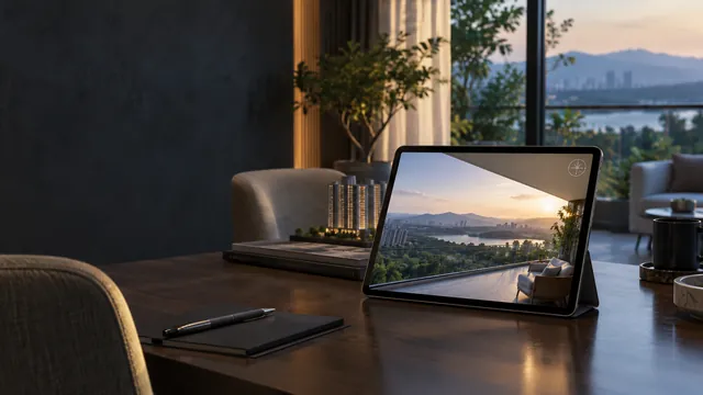
the view from every floor
Vantage
We fly to the exact height of each floor and capture the 360° view from the balcony line. Delivered as one link with a floor picker: a buyer stands on their future balcony on their phone, and decides.
- 360° panorama per floor, at true height
- Floor picker and compass
- Day and dusk versions
- Embeds on your site; QR in the sales gallery
-
progress
SiteStory
The same waypoints flown every fortnight, delivered as a timeline, before/after compare, 3D scan and a RERA-ready report. Sales and compliance from one capture.
- Dated timeline and compare
- 3D scan per site
- Quarterly report
- Embed progress for buyers
Plots & farm land
For developers of land.
-
land, made legible
Plot Launch Kit
Empty land photographs badly. We fly it, then build the microsite that sells it: an interactive map of every plot, a 360° tour at four heights, connectivity to the road and the town, a launch film. The link is the brochure.
- Interactive plot map with availability
- 360° aerial tour at four heights
- Connectivity layer with real distances
- Launch film + stills
- Progress updates as phases complete
-
stand on any plot
Plot Vantage
A 360° from ground level and from 30 m above each plot cluster, so a buyer sees what their plot faces — the hill, the lake, the road — before the site visit.
- Ground + 30 m panoramas
- Plot-numbered hotspots
- Shareable per-plot links
-
connectivity film
Connect
From the highway exit to the gate, timed. The question every plot buyer asks first, answered in ninety seconds.
- Route aerials
- Drive-time captions
- Landmark cut-downs
Why a link
Everything we deliver opens in a browser.
One link, not a folder
Send it to your directors on WhatsApp for approval. No files, no versions, no “which one is final”.
Buyers decide faster
A buyer who has stood on the 14th-floor balcony in a 360° doesn’t need three more site visits.
Every view is identified
Each link is per project, per floor, per plot. Sales can send exactly the unit under discussion.
It updates in place
New floors, new phases, new availability appear at the same link. QR codes on hoardings never go stale.
Works everywhere
Any phone, no app. Embeds on your website and in the sales gallery.
Real, not rendered
Views are captured at true height and position by a DGCA-registered operator. Say so on the brochure.
Open one
Real links, real clients.
-
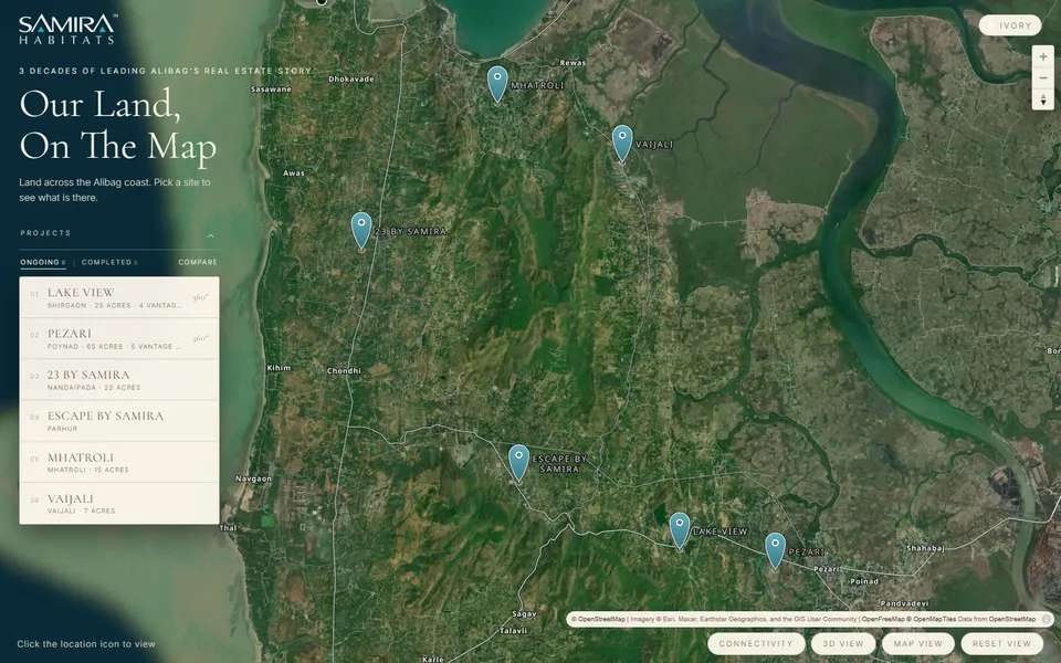
Plot Launch Kit
Samira Habitats — plot map
-
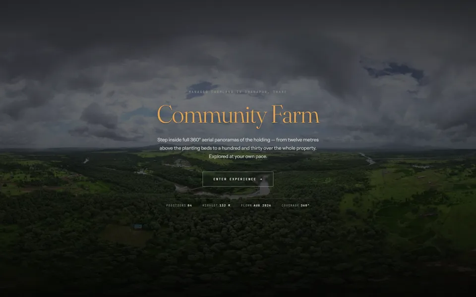
Plot Launch Kit
Community Farm — 360° at four heights
-
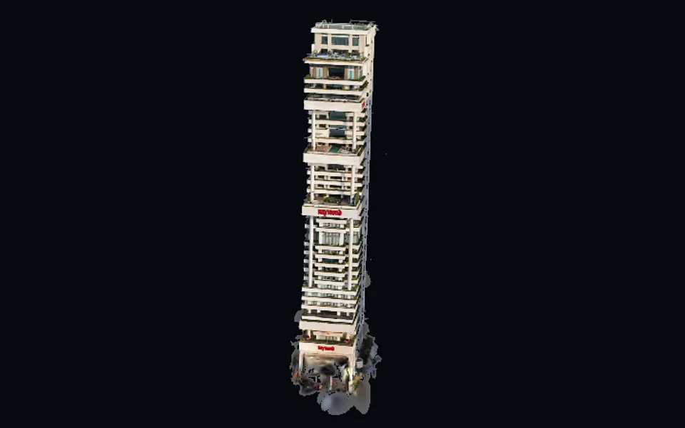
3D scan
Raymond — building scan
-
Vantage
VR walkthrough demo


